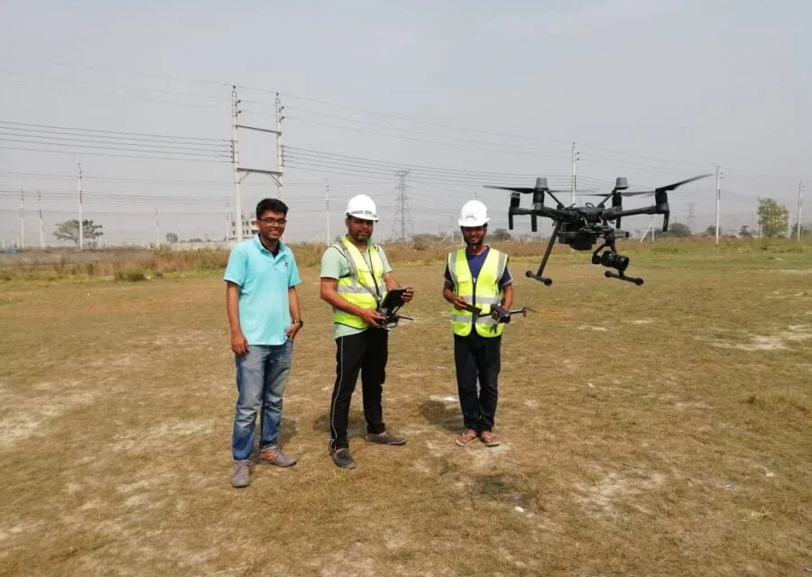

Drone UAV Mapping & Infrastructure Survey Services
GEM Consultants Limited provides high-precision Drone UAV Mapping and Infrastructure Survey Services to support modern engineering, infrastructure planning, and project management. Leveraging state-of-the-art aerial technology, including the DJI Mavic 3 equipped with a 20 MP Hasselblad camera, we deliver highly accurate aerial data tailored to meet the stringent requirements of national and international agencies. Our drone survey solutions are optimized for road planning, feasibility studies, GIS mapping, construction monitoring, and stakeholder presentations across various sectors, including Roads, Highways, Bypass Planning, Utilities, and Feasibility Studies.
Service Types We Provide
We deliver a comprehensive suite of aerial intelligence and mapping products to ensure precision at every stage of a project:
- Orthophoto Mapping: High-resolution aerial maps meticulously corrected for terrain variations and perspective distortion.
- Ortho mosaic Maps: Seamless, large-scale project-area mapping ideal for roads, land parcels, utilities, and regional planning.
- Digital Surface Model (DSM): Detailed DSM outputs to support topography analysis, drainage assessment, slope grades, and embankment design.
- Point Cloud / 3D Model: Highly detailed spatial and volumetric outputs for engineering visualization, structural inspection, and precise measurement.
- Road Alignment Video: Dynamic, high-definition alignment visualizations tailored for route review, environmental assessments, and stakeholder meetings.
- GIS-Ready Outputs: Fully geo-referenced files formatted for seamless ArcGIS and CAD integration, enabling advanced spatial analysis.